13th January 2011
We packed up the Annex, etc in uncomfortably wet conditions and drove up to Bicheno in them hope that the road wasn’t cut, as we had heard radio report that St Helens had received flash floods and the road on the north side was cut. That is close to 80kms north of Bicheno but we could see many stretches of water near the road as we successfully drove through to our destination. We didn’t put up the annex yet as the weather is still unpleasant but did drive into the very small town for some shopping and then drove to the beach to see just how rough the ocean was. We were glad we weren’t doing any boat trips today. We had put the awning out half way to have a dry doorway, but due to strengthening wind in the night Barry put it away at about 3.00am. Tasmania in general is now feeling some of the left over wet weather from the mainland with excessively high rainfall in some areas in a day or less, which equals the rainfall they would normally receive in a month. Railton, Sheffield, Latrobe, Spreyton and St Helens have all experienced flooding to some degree but to the extent of Queensland.
15th January 2011
The weather has changed to summer again to dry out the flooded areas, so we walked out to the coast near the caravan park which doesn’t have a beach, which actually suits us as we are not beach people, but it does have a magnificent rocky coast line complete with a blowhole that was working reasonably well today.

As a pleasant bonus we also found a Penguin in its burrow.
 The rocks have coatings of orange lichen giving an attractive appearance and emphasising the natural beauty of the rocks themselves.
First attempt at a three photo hand held panorama.
The walking track is partly over the rocks and partly through shady tree cover which was appreciated with today’s 28 degrees temperature. We reached the area known as The Gulch, which is a narrow channel between the land and a large rock known as Governor Island (which is a very noisy marine reserve and covered with terns and seagulls). By this time we had walked for nearly two hours so turned into the town centre rather than continue on as it moved away from town around a point, and would have taken another hour or more. From the town, the caravan park is a slightly uphill ten minute walk and slightly further up the road is a motor cycle museum that might get the benefit of our presence. Currently there is a virus problem with the abalone which is, or was, a thriving multi-million dollar industry in Bicheno which is not good for the area.
16th January 2011
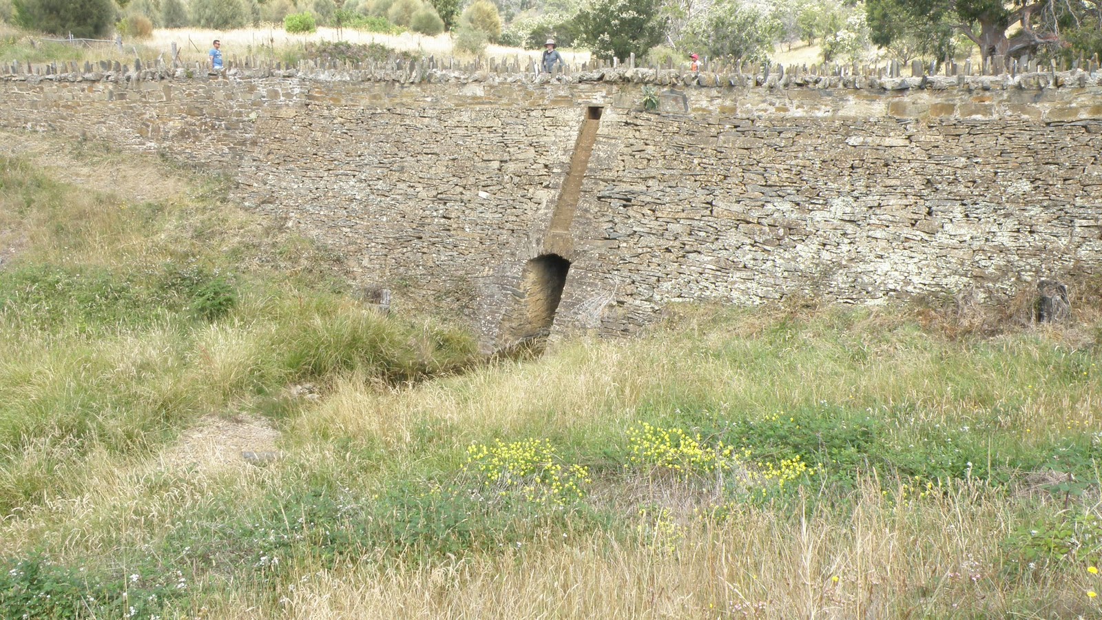
Another fine weather day tempted us to do a waterfall hunt by backtracking towards Swansea and turning off towards Campbelltown. However, before turning off we decided to stay on the main road and turn off to 9 Mile Beach which is the wide sandbar heading out towards the Freycinet Peninsular which almost reaches it. It was possible to look across at Cole Bay with the Hazards mountain range in the background. On the map it is shown purely as a large sand bar but it is actually covered with low bush and both sides of the road have private 5 acre properties. There was only one point giving public access to the beach along its length, and again at the end which allowed boat access to the river mouth and ocean, and was therefore a bit disappointing. We headed back to the Campbelltown turn-off and made towards Leake Lake. Just before reaching Leake Lake (Campbelltown and Ross’s water supply) we headed into the State forest on a dirt road that is supposedly only accessible on weekends, which didn’t pose a problem as this is Sunday. This is probably because of logging trucks during the week. We had the choice at the turn off to go left to Lost Falls, or right to Meetus Falls, which is the way we went as it offered a picnic table and toilets. About twenty kms later we arrived at the falls but had our packed lunch before doing the 20 minute return walk to the falls lookout.

The falls was a vertical drop waterfall of significant height with the bottom only just being visible from the lookout. There was a river circuit which would have taken us down to, and along the River Cygnet, but as it appeared to be in flood mode due to the rain over several days, and supposedly a 50 minute return trip with half of it uphill, we gave that a miss.
When had intended to return to the Campbelltown road and cross it to go to the Lost Falls but as we reached the main dirt road a signpost indicated going the other way to Harding Falls, and as it was only another 48kms we took that option.
 From the carpark it was another 20 minute return walk to the lookout, which was an unprotected cliff edge from which you could see practically nothing. This prompted us to continue on with extreme caution down a 40 minute return, steep, stony zigzag track to the base of the falls which on arrival proved to be well worth the effort. The climb back up was pretty arduous but several rests on the way helped, usually at the more difficult spots with large rocks to clamber over that required Foxy being lifted up, or down as required, although she jumped as many as possible.
Back in the carpark we had a refreshing cuppa and then set off along the continuation of the track which is now classified 4WD only in the expectation of rejoining the main bitumen highway, but first meant crossing the river about 100 metres upstream of the waterfall which was enjoying the rain a few days ago. We had seen 2 other vehicles come from that direction so assumed they had crossed, and it turned out not to be a problem but Merry cautiously waded the first of 2 water passages which was less than knee high and the second water way was faster flowing but shallower with a paved base, so Barry bravely drove through. The rest of the road was stony but any vehicle could manage it, and eventually joined the main highway, and returned to Bicheno. I have since checked out Lost Falls on the Internet and it didn’t look like we missed much other than a panoramic view, as it is claimed you can’t see much of the falls from the cliff top with no way down.
17th January 2011
This was declared a day of rest after two reasonably energetic days, however, despite this we still crossed the road from the caravan park and climbed the granite outcrop known as Rock lookout but the views of the ocean and town were a bit restricted by trees, and you can’t climb the last dome shaped peak unless you are related to Spiderman. There is another lookout on the other side of town that should provide good views of the town which we will tackle in the future. We came back down a different way which took us to the coast road and the blowhole again, which was still producing a good exhibition but the penguin wasn’t home today.
 In the afternoon Barry walked up the road to the local motorcycle museum which has a good collection of predominantly British bikes among the many, the most notable being a one-off Ariel Square Four engine fitted into a Norton Featherbed frame with a Norton Manx fuel tank and called a Noriel 4.
There was also a 1941Vincent 1000cc HRD Rapide and is claimed to have been the fasted bike on the road at 110 mph which in that year would have been exception, especially on the roads of that era. The rest of the British collection included Vincent, BSA, AJS, Triumph, Villiers and Royal Enfield, all with varying engine sizes, whilst the foreign bikes were mainly Honda, Ducati and Kawasaki. A couple of the Triumphs had three cylinder engines with elaborate exhaust pipe configurations (presumably three 250cc cylinders to create a 750cc bike to out-perform the standard 650cc bikes). Several specimens were for sale with the cheapest at $9200 being a 650cc BSA, but Barry resisted the temptation on the basis that he prefers AJS/Matchless bikes, and also that the clutch cable was slightly frayed.
18th January 2011
Another fine day so we drove north to St Mary which is off the coast up a typical Tasmanian mountain with the purpose of checking out our move to St Helens. There are two alternate routes with one being via St Mary and the other remaining close to the coast and we wanted to ascertain the best way to go when we make our move. We suspected the coastal route would be the better deal which proved correct as the trip to St Mary meant a gruelling drive up Elephant Pass which just happened to be home to the Elephant Pass Pancake Parlour that claims to produce the best in Tasmania. As we were selected by us to be the judges of this we succumbed to the temptation, and Merry’s verdict was a yes whilst Barry has the need to do a side-by-side test against the Pancakes by the Pond in New Norfolk product but agreed that they were excellent. The continuation of the trip via the township of St Mary took us down the St Mary Pass which was just as narrow and twisty with the usual hair-raising drop of the edge if you get it wrong. The verdict as to which route to take the caravan was via the coastal road to do it with ease. On the way back to Bicheno we called into Denison beach for a 40 minute walk to burn off the pancakes.
19th January 2011
It rained during the night and remained overcast and threatening in the morning so activities were put on hold until after lunch when we walked into town and climbed up to Whalers Lookout which was a steady climb to the viewing platform that offered good views over the town and along the northern beach.

This also meant a view of Diamond Island, a small rocky island just off shore but can be walked to across the sand bar at low tide. The track from the viewing platform allowed us to walk around to the eastern side which had another viewing platform overlooking Governor Island and therefore facing the ocean which is more likely to actually be Whalers Lookout. This is the wrong time of year for whale watching so we retreated to the town, disturbing a roo on the way, and called into the Visitor Centre to check the low tide time. We then returned to the caravan park to collect the car and drove round to the beach access that allowed us to walk along the beach to the Diamond Island sand bar as just happened be right on low tide.
 Barry and Foxy settled down on a rocky outcrop just before the sand bar as the Island is out of bounds for dogs as it is a wild life sanctuary, but Merry continued to the Island. The Island had a track around it which let Merry see all four points of the diamond shape for about 30 minutes before beating the incoming tide to get back to Barry and Foxy, although she did get her feet wet.
20th January 2011
We drove out to the Douglas Apsley National Park to explore the Gorge which means crossing the river below the waterhole 10 minutes from the carpark. This is a balancing act across precarious rocks or simply wading though below the rocks, which is the option we took, although Merry removed her boots and socks first. From there we climbed for at least 20 minutes before the track levelled out to a slight uphill gradient for quite a while then levelled for a short spell before descending to the river slightly upstream of the waterfalls. The final part of the descent was very steep down rock steps of uncomfortable heights that ended at the water’s edge with water above waist height.

 We scrambled over rocks and through bushes to get close to the top of the waterfall which turned out to be only about a metre deep at best whereas the photo on the information board in the carpark implied a significant height. There was no way of get a photo of it front on so the trip was a waste of time except for the view along the gorge The return trip up the first steep incline was agonising and slow and wasn’t much better after that, and the long downhill part of the journey didn’t help at all. We acquired some sturdy sticks to assist us though the river crossing as it enabled us to walk across the top of the rocks without so much water in our boots. From the rock pool we attempted to walk to the gorge lookout but it was blocked off just before you get to it, and you could see it had partial collapsed so we missed out there as well, and headed for the carpark and home. The whole trip took about 3 hours and on arrival back at the caravan succumbed to buying fish and chips from the takeaway attached to the park. Foxy gave us a good telling off for leaving her at home but being a national park we had no option.
21st January 2011
Classified as another rest but we did manage a walk to the blowhole again which was performing really well, and took a rock hopping walk it the opposite direction to the marked coast walk. This brought us to a small sandy beach and a track leading back to the road by the blowhole carpark.
22nd January 2011
We left Foxy at home again to visit the Freycinet National Park and the much publicised Wineglass Bay.

 From the carpark there is a choice between a 3 hour climb on Mt Amos up large steep slabs of granite which is recommended for very fit experienced climbers, or a 45 minute walk is up a reasonably steep well made path and 330 steps to the Wineglass Bay lookout which is on the saddle between Mt Amos and Mt Mayson.
On the way there we called into the town centre (such as it is) of Coles Bay where the only grocery shop and fuel supply burnt down recently and then entered the National Park.

 From the carpark there is a choice between a 3 hour climb on Mt Amos up large steep slabs of granite which is recommended for very fit experienced climbers, or a 45 minute walk is up a reasonably steep well made path and 330 steps to the Wineglass Bay lookout which is on the saddle between Mt Amos and Mt Mayson.
 The provides a similar view as the Mt Amos climb but from a lower angle which means the very front northern end of the beach is obstructed by trees so you don’t see the complete length. It was also a slightly hazy day which didn’t help the long range photos. On the way are interesting gum trees and rocks. From the lookout you have the option to retreat to the carpark or continue for another 30 minutes down to the beach via a much steeper path comprised of rock steps of unequal heights.
 We took the second option and descended to the beach which seemed to be the general lunch stop for most people which must the usual practise as several of the local Bennets wallabies came to see what food was on offer, despite the pointless request not to feed them.
 The sand is claimed to be white but we felt that whoever made the claim has never been to Esperance to see what white sand really looks like, however, it was white enough to create the clear blue water effect in conjunction with a clear blue sky.
 The climb back to the lookout was gruelling and took longer than the downhill run but that included a few rest stops and photo stops. The path down from the lookout to the carpark splits at the bottom of the steps to take you down a different way and therefore offering different views. That trip took 4 hours including the time on the beach for photos and lunch plus the time at the lookout.
 After a well earned cuppa in the carpark we drove out to Cape Tourville for another 20 minute walk around the lighthouse and boardwalk for more splendid coastline views.
 On the way back from the lighthouse we stopped for the 10 minute walk to the Sleepy Bay lookout but we didn’t find a lookout so assume the cliff top was it, with a glimpse of a beach.

 Back at the Visitors Centre we walked down to Great Oyster Bay and Richardson Beach which offers views of the Hazards Range and is an ideal beach for young kids as it was very sheltered. it is so popular that the campsites have to be alocated by ballot each August.
 On the way home along the peninsula we turned off for a look at Friendly Beach which offered beach for a long way in each direction. We then returned home to take another telling off from Foxy.