25th January 2011
Day of rest after the trek around Freycinet but in the afternoon we manage a walk along Denison beach as our literature vaguely mentioned something of significance in that area but we didn’t find anything other than the usual sand and sea that one finds at the beach.

Australia day and a fine weather one at that. We drove to St Marys via Elephant Pass but resisted the pancakes but turned off to South Sisters Lookout which took us uphill along a dirt road for quite a while until we found the turn off to the lookout and then became more suited to 4WD vehicles, but still going uphill, but more steeply. We eventually came to a carpark just below a shed which presumably was something to do with the antennas on the lookout. We walked the remaining part of the road to another parking area outside the shed which offered a lousy lookout situation but we found a narrow track hidden by bracken and then noticed the stony, stepped track with a handrail. The track was steep with uneven height rock steps and was tough going and split near the top to go to two separate antennas which meant climbing to each in turn. The views from the left hand antenna platform were great but restrict in direction whereas the second platform allowed 360 degree views. Climbing down was just as hard as climbing up, with some parts requiring Foxy to be lifted as the jump was too great for her little legs. On the way back down the road from the carpark we met a young couple walking up the road as their car was not suitable. We informed them that they still had half a kilometre to go and then the climb to the top, so they gave it away and came back down to their car, with us. We met another older couple doing the same thing but they decided to push on, but our money says they gave up long before they got to the top. We continued on to very small village of Fingal where we sat in the local park and had our lunch, and notice a silvery stripe amongst the trees in the distance and guessed that it was the Mathinna Falls, which is where we were heading.
 Our guess turned out to be correct but the track took us to the base of the falls which only allowed aview of the last fall with a glimpse of more above it. On the walk in we had a view of the top of the falls which was very high so we knew there was a lot more than could see from the bottom, but when we attempted the very steep, very rough track upward it proved too severe for us oldies.
 We met other people who claimed to have climbed up to the next level but they were much younger than us. From here we backtracked on the dirt road to the turn off to Evercreech Forest Reserve that claims to have the world’s tallest White Gum Trees (90 metres tall). From the carpark it is a 10 minute return walk to the Tall Tree observation point, or continue on for a 20 minute circuit walk. There is also a 40 minute circuit walk that takes in Evercreech Falls which we didn’t know about as the falls doesn’t get a mention in any of the literature we have gathered, nor is it mentioned on our map. We did the 20 minute walk first which ended at a second carpark where we met the people that had climbed the second part of Mathinna Falls who also informed us that doing the 40 minute walk involved crossing the river on stepping stones with a rope support. We changed from our shoes to our walking boots and attacked the 40 minute walk which actually took us about 55 minutes.

The crossing didn’t get our feet wet thanks to the walking boots, but we suspect the stepping stones only had water over the top of them due to the excessive rain a couple of weeks ago, which also means we are probably seeing these waterfalls at their best.
We returned to the main bitumen track via another alternate dirt road which we estimate cut off up to 20 kilometres, and then headed for home but with the intention of a short detour to the coal mining village of Cornwall to view the Coalminer’s Heritage Wall. A nice tribute to the past miners but not a ‘must see’ tourist attraction so used the stop as an excuse for a tea break before so heading home.
27th January 2011
Once again we packed up the camp and moved on northwards to St Helens. The most significant observation on the way was that the road gets narrower as you head north. It is the most used road in Tasmania by the tourist trade so it carries numerous caravans, motor homes and as with most of Tassie, logging trucks, which all only just manage to pass each other so long as you run your nearside wheels on the very edge of the bitumen whilst you hold your breath. We needed to do some shopping, and had been looking forward to St Helens as it boasts a super IGA store, but were disappointed with it as several items we wanted weren’t stocked.
28th January 2011
We drove into town for more information from the visitors centre and gained a copy of a map that we already had and rough idea of where dogs are allowed, or not. They only had one copy of the 4 page document and a broken copier so you had to memorise it all.


We went on our way towards the Bay of Fires but deviated to Binalong Bay and Humburg Point first, which gave us views across the bay with several small, genuinely white beaches separated by rocky outcrops covered with red lichen, plus views of a lagoon. We proceeded to The Gardens at the end of the road running past the Bay of Fires and stopping off at some of the parking areas to check the beach. This was a huge disappointment for us as literature we had read in the past had built up ideas in our minds of a beach littered with rocky outcrops, or boulders, covered in red lichen creating the effect of fires. In reality it is a beach littered with sand, albeit a nice white coating of sand, but not exactly what we were expecting. At the very end of the road at The Gardens is a rocky outcrop and prior to Bay of Fires are a few rocky outcrops, but not on the Bay of Fires, just sand. Rather like Hellfire Bay near Esperance in WA where there is no Hell and no fire, just peace and tranquillity.
 A few of the other stopping points on the way back after the Bay offered some views of lichen covered rocky outcrops to console us. So far we preferred Bicheno for its lichen covered rocks, the blowhole within the rocks, granite lookout outcrops that you can climb and only a 5 minute walk into town, whereas here we have a 5 minute drive into town.
 29th January2011
In the afternoon we drove down to Scamander to check out the claim to having some of the best coastline in Tasmania. If you are a beach type person then the claim could be correct as l there is only a long sandy beach, but not as white as the Bay of Fires beach. It was also not suitable for little kids as the wave break was very high and strong, but that may have just been one of those days. What we consider to be great coast line is what we saw around Bruny Island, Freycinet Peninsular and the Great Ocean Coast road.
30th January 2011
Since arriving in St Helens we have had very windy afternoons and also last night but it has calmed down since day break and produced a humid day with a summer-like temperature.
1st February 2011
It rained most of yesterday, and today is back to windy with the rain expected in the evening.

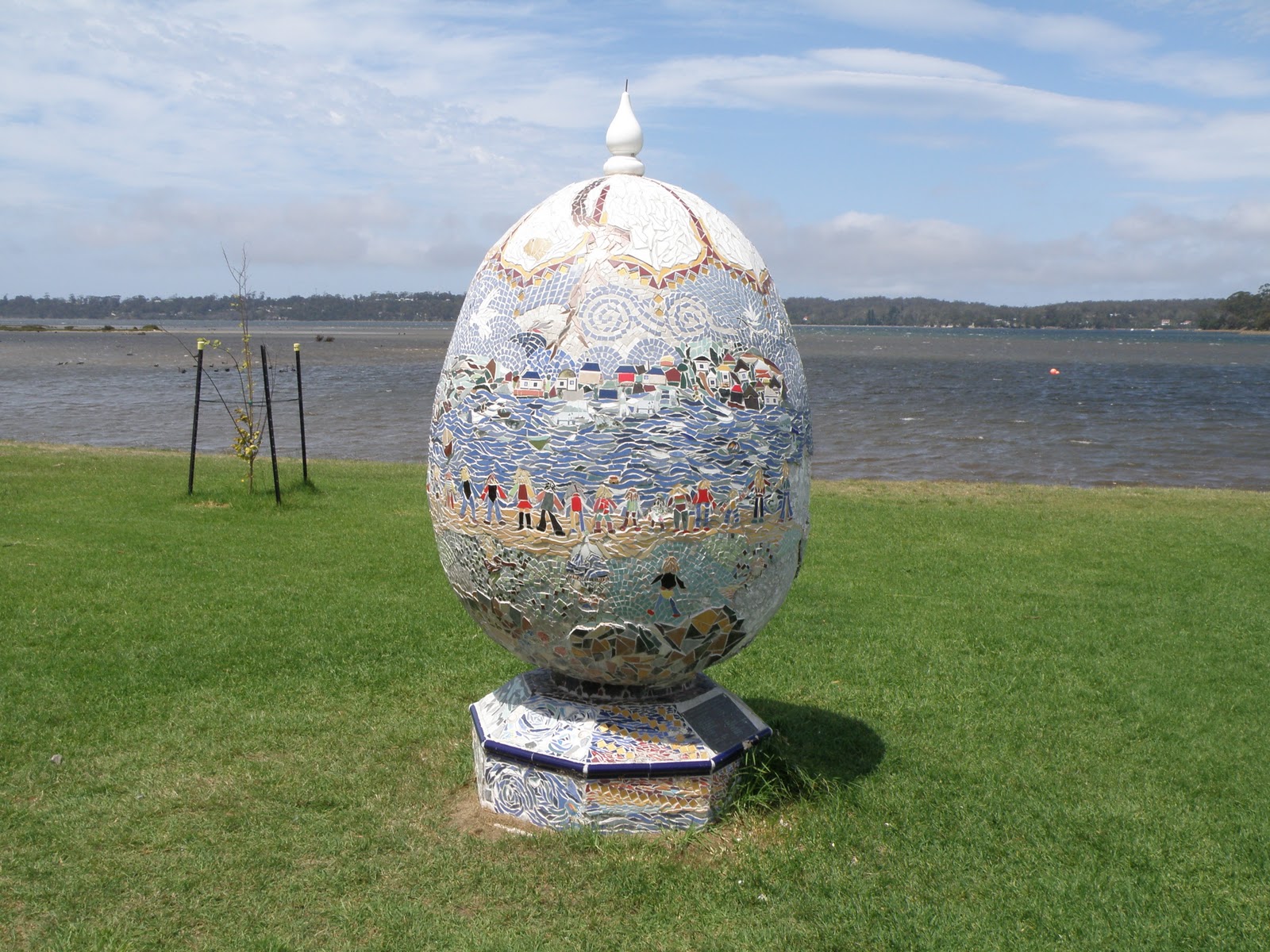 In the afternoon we took a short walk in the memorial parks (1 for fishermen and 1 for soldiers) and along the harbour front and then drove out to Burns Bay on the end of the Point. Here we took the 60 minute return walk to Beerbarrel Beach via St Helens Point. This provided some good views of lichen covered rocky outcrops and an echidna on the return journey.
 Merry took a 10minute walk to St Helens Light for an elevated view of the surrounds before we returned to camp just in time to beat the rain.

A not so perfect panorama.
We have decided to return to Mainland Aussie earlier than we had booked for in May and have re-arranged our return trip for the 28th February.
3rd January 2011
We drove out to Pyengana and on to St Columba Falls (the highest Tasmanian falls) which we have declared to be the best so far, marginally better than Nelsons Falls.


On the way back towards Pyengana we turned at the appropriate signpost onto the dirt road to Ralph Falls but came to a T junction with no signpost and took the straight on option which turned out to be the wrong one, but it covered some interesting areas. We eventually came across a couple of logging types and one of them gave us directions to the falls via Ringarooma, rather than backtrack. We estimate that the trip was about 50kms from T junction to the Falls when we arrived there, but had given us some great views as we approached Ringarooma.

 We had lunch in the carpark and then did the 10 minute walk to the lookout (Norm’s Lookout) which looks across a 90 metres deep void straight into the ribbon of water at the top of the falls. It is a narrow ribbon of water that falls in a single drop and Australia's tallest single drop falls.
 On the return track we took the optional 40 minute circuit walk to Cash’s gorge which offered a couple of lookouts, one of which was simple a case of perch yourself on the rock cliff edge, but did have a view of another small no-name waterfall, and the other is a fenced platform at a point that was safe to stand at without the barrier.

The track then became a boardwalk along what was originally the Ringarooma 1884 bridle path back to the carpark. The car trip out in the other direction brought us back to the T junction where we originally went wrong and was only about 5kms.
The intention now was to head back towards Pyengana and turn off to Halls Falls but decided to give it a miss and return for that waterfall another day. We took a quick detour to photo the Pub in the Paddock, an out-of-the-way excuse for a gargle if you so desire, and then stopped off at the Holy Cow Cafe near Pyengana for a coffee and cake. This is cheese factory/cafe where you can see the cows being milked as well as tasting the variety of cheeses.
4th January 2011
The weather is threatening rain but this didn’t happen until late morning but convinced us to stay put but had the pleasant knowledge that Stuart and Belinda would be on their way to join us in St Helens when Be leaves work at 4.30pm. We met them soon after their arrival after a 250km journey and had dinner in a waterfront restaurant.
5th January 2011
 Stu and Be picked us up in the morning for breakfast in town which was an excellent decision and included a long chat time. We then headed out to St Columba Falls as the 10 minute walk from the car park allows wheelchair access which is fine on the downhill way in, but not so good coming back out. It is amazing just what Be can manage as Stu is no light weight but she is, although she did get some assistance from us on the steeper inclines, but she got a good work out without the help of a Gym.
 We took more photos and on comparison with the previous photos there is slightly more water falling today. On the return journey we stopped again at the Holy Cow Cafe for cheese tasting and light lunch. We discovered that the dairy is robotic and each cow has an identity disc to operate the gate to come to be milk when she wants, but if she returns within 6 hours she is redirected back out without the milking. After they are automatically milked they emerge into an area that has a rotary backscratcher brush which the cows obviously love, and can’t get enough of it before heading to the paddock. They are really contented cows and apparently produce more and better quality milk, which ultimately makes for better cheese.
6th January 2011
We had breakfast in town with Stu and Be and once again sat and enjoyed each others’ company for a while before they had to make their departure for the trip back Hobart, fortunately via Ross in order to pick up some of the Bakery’s magical offerings. This will be the last time we see them for a long time, probably until we all arrive back in WA in several years time which will take a while to get used to.

 Rather than spend a lonely afternoon in the caravan we bought some fruit in town and drove out towards St Columba Falls again but turned off to Halls Falls and spent about 2 hours doing the return walk/climb to the falls and also a weir further upstream.
 We were going to make a cuppa when we got back to the carpark but that coincided with the arrival of three families with multiple kids and uncontrolled dogs. One of the dogs fancied Foxy for lunch but didn’t achieve it, and Barry read the riot act about dogs being on a leash in public, and especially in State Forests. When asked which dog did the attacking he said it was the grey one with the sore rib cage.

 We moved on to Anchor Stamper to the old tin mining area to view the old water driven Stamper that was used to crush the ore, and is now being taken over by nature as the bush grows back. It presents a very different temperate rainforest picture with machinery intermingled with Fern trees. We then continued onward and upward into the Blue Tiers Reserve which is part of Mt Poimena where we finally had our cuppa before doing the Goblin Forest short walk as the other walks where way to long and too late in the day. We returned along the shorter route via Lottah back to the highway and home.
7th February 2011
Our time in St Helens is running short with still more to do so drove to the tin mining town of Derby and visited the Mining Museum. The mine had used a dam to collect water to operate the nozzle dud to wash the ore down and also other equipment, but during an unusually heavy period of rain the dam collapsed, flooding the mine with the loss of 14 lives. We drove on to Branxholm where we had our lunch in the local park, then continued to Legerwood where their local park is much nicer, and has nine memorial trees that became unsafe and cut down. The stumps now have chainsaw carved figures of the seven lost soldiers from the locality, and two depicting Gallipoli and the Anzacs.


We returned towards Derby taking the Derby Back Road which bypasses the town, and then turned off towards Gladstone to visit the Little Blue Lake, which is a disused quarry filled with water that has turned a Turquoise colour due to the decomposing granite.

We then continued on to Bridport to look it over as we can’t stay there due to the only caravan park not accepting dogs. However, it doesn’t matter as it didn’t have much to offer us, despite having met people who have said they would love to settle there.

We then continued on to Bridport to look it over as we can’t stay there due to the only caravan park not accepting dogs. However, it doesn’t matter as it didn’t have much to offer us, despite having met people who have said they would love to settle there.
 We did get to see a ferry from Flinders Island, full of cattle, come into the narrow channel to the port. On the way to Bridport we did a short detour to a beach side Links golf course rated 33 in the world by an American golf magazine, which at the time was enduring high winds and would not be fun to play in, as several people coming off the course confirmed. We returned to Derby via Scottsdale and back to St Helens over the mandatory mountain that we will have to drag the caravan in a few days time.
No comments:
Post a Comment